Thermal imaging

Detect suspected moisture and anomalies instantly
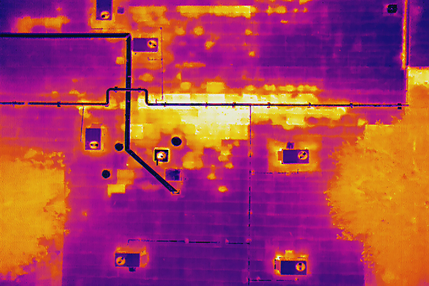
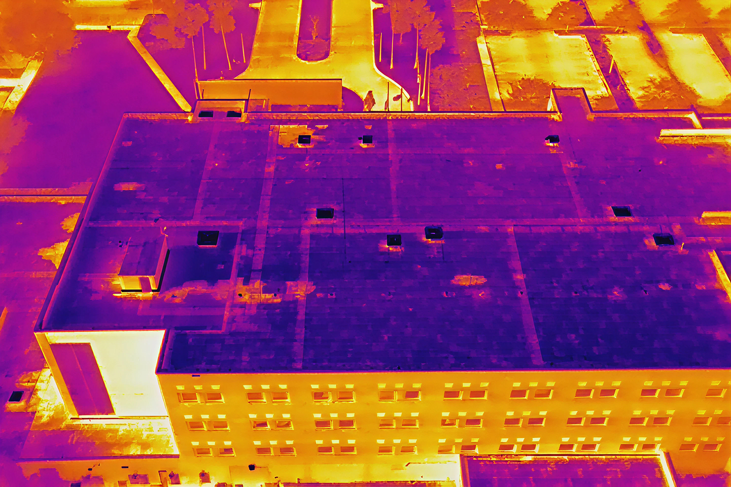
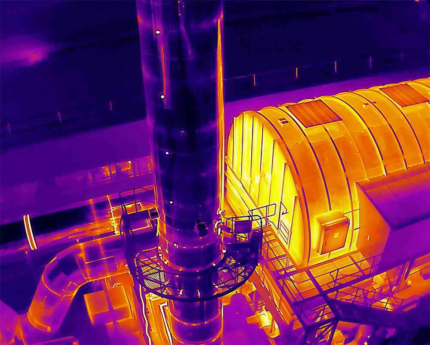
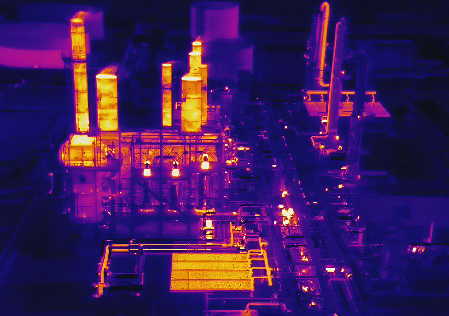
Wet insulation and trapped moisture don't show up on the surface until the damage is already done. Our ASTM C1153-compliant aerial thermal surveys scan TPO, EPDM, and built-up roof assemblies from the air, pinpointing moisture intrusion and membrane anomalies without shutting down operations or touching the roof.
Instead of guessing where the leak is coming from, you get a precise thermal map of exactly where repairs are needed. That means targeted fixes instead of a premature full tear-off, documentation your roofing contractor can actually use, and a capital planning report you can take to stakeholders.
Roy Miller High School
.png)
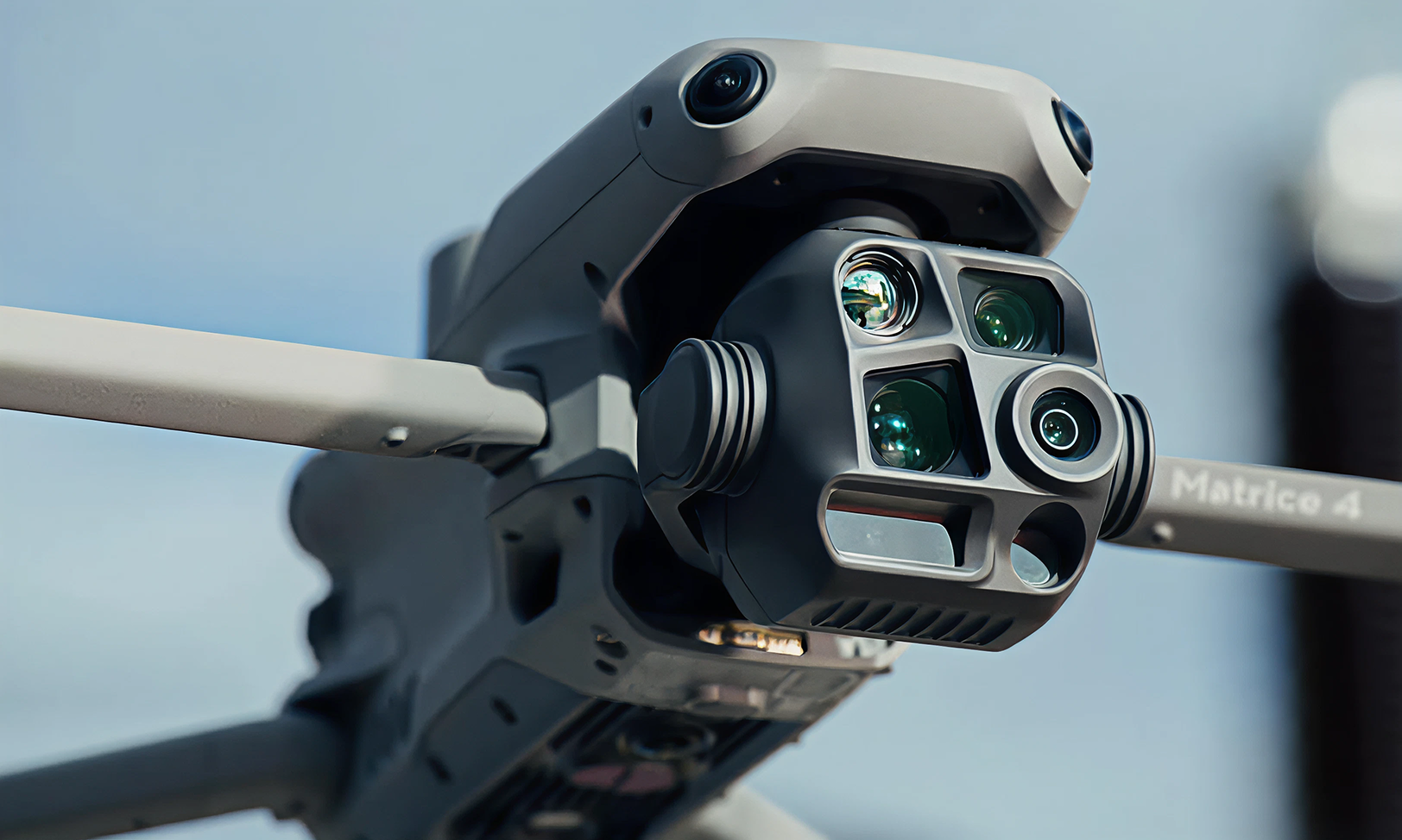
Level 3 & Master thermographers
We proudly work as an Authorized Thermal Vision Partner, holding both Level III and Master Thermographer certifications through the Infraspection Institute. This elite credentialing ensures your inspection is performed with advanced expertise and industry-leading standards. You can review sample deliverables to see exactly what to expect
Inspection packages
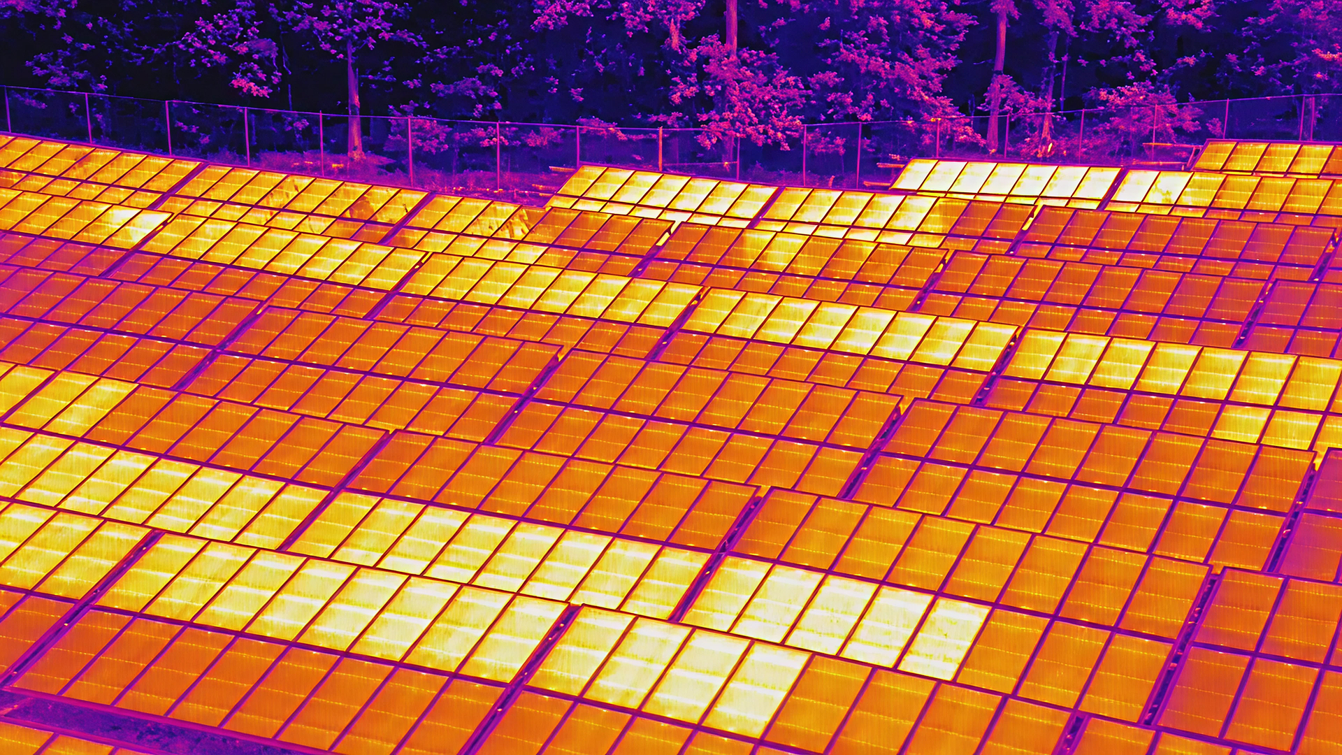
Maximize your solar array performance
Thermal imaging reveals underperforming panels and damage before they cost you money. Optimize your system with precision data.
more than just a weird french word
See what's hiding inside your walls
Thermal façade inspections use infrared imaging to scan the exterior of your building from the ground up, revealing suspected moisture intrusion, insulation gaps, air leaks, and energy loss that are completely invisible to the naked eye. No scaffolding. No disruption. Just a full-envelope picture of your building's health.
Faster Surveys Without Cutting Corner
Flight altitude, coverage area, and site complexity are the only variables that affect turnaround and we plan around all three before we ever get on site.
Full roof coverage on TPO, EPDM, and built-up assemblies. no scaffolding, no crew on the membrane
Every flight produces an ASTM C1153-compliant thermal report with moisture anomalies mapped to the exact square foot
Catch trapped moisture months before it breaches the ceiling and costs you six figures in emergency repairs
Ready to see the difference
Request a thermal drone assessment for your property or site today.