LiDAR drone mapping
LiDAR drone services for accurate surveying and mapping across all 50 states
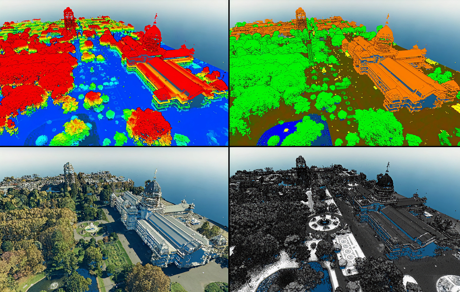
Precision Mapping with LiDAR Drone Scans
LiDAR drone scans deliver unparalleled accuracy by capturing high-resolution 3D data from above. These scans help create precise topographic maps, structural models, and volumetric analyses. By integrating LiDAR data, you get a complete, accurate picture of your site, enabling better planning, design, and decision-making.

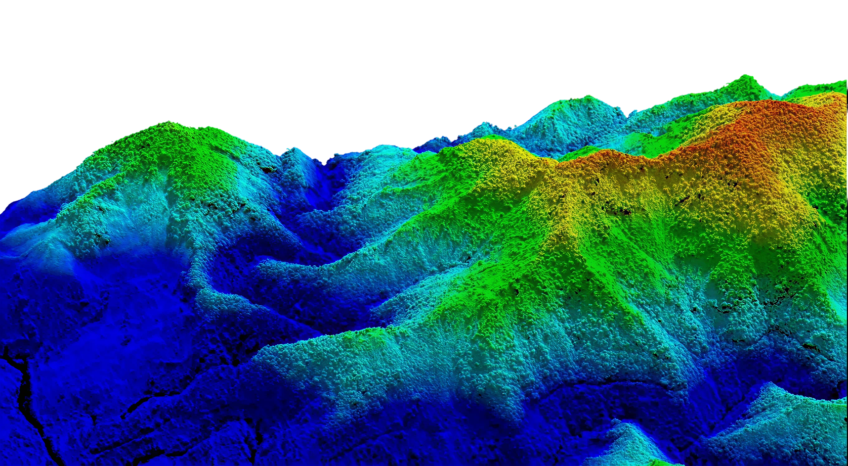
LiDAR sees what others miss
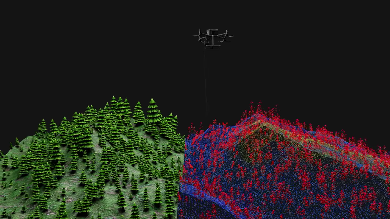
Laser technology captures terrain detail that traditional topography surveys might miss.
Real data for real decisions
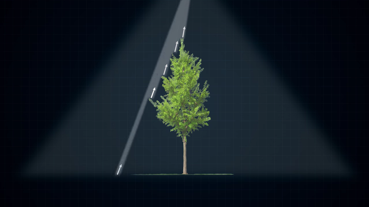
LiDAR delivers elevation measurements accurate to centimeters, eliminating the uncertainty that slows projects down. Your team gets the numbers that matter, not estimates that fail.
Numbers that speak for themselves
Every hour your project waits on survey data costs money. LiDAR drone scans cut that wait, delivering engineering-grade accuracy across hundreds of acres in a single flight, at a fraction of what traditional methods cost.
The other guys are slow
Faster than traditional ground survey
One flight replaces what used to take a ground crew several days to complete.
Acres per flight
Covered in a single deployment
No return trips, no extra mobilization fees. One flight captures everything your project needs.
Accuracy matters
Accuracy your engineers can actually use
Survey-grade precision delivered in days, not weeks, so your timeline stays intact.
Get your survey mapped today
Request a consultation and learn how LiDAR drone surveying can improve your project accuracy and timeline.
.jpg)