Aerial solutions
Advanced drone technology for commercial and industrial operations across South Texas
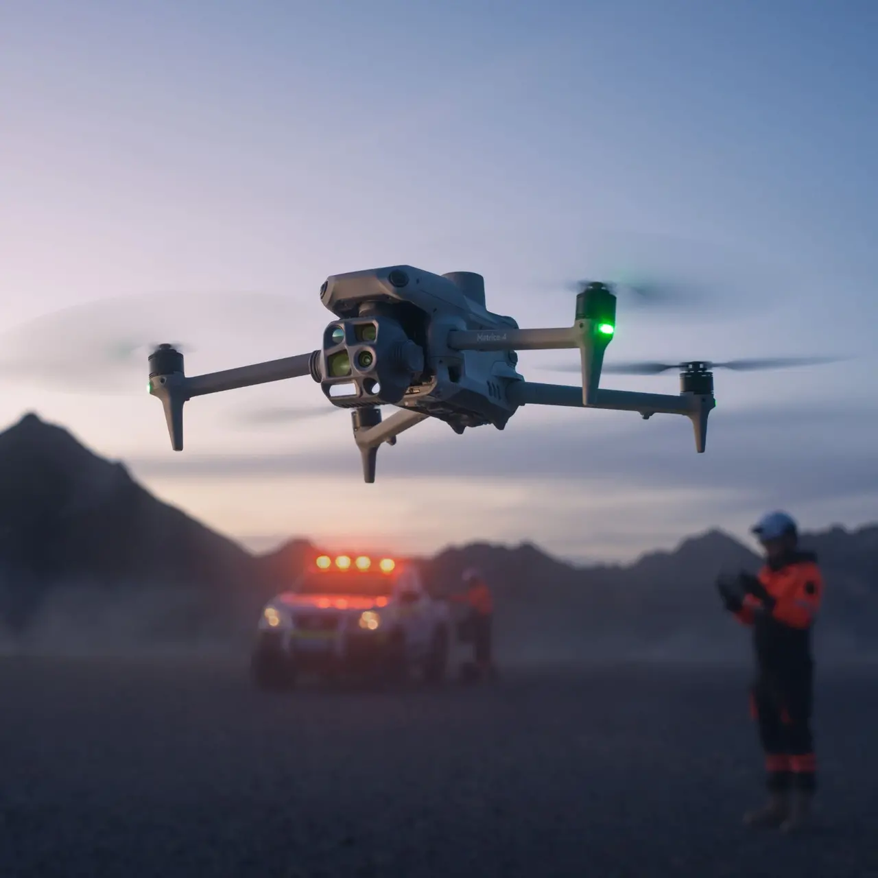
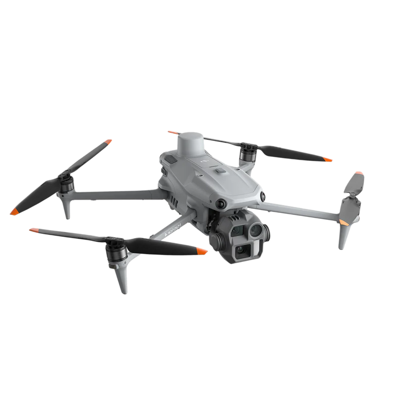
Equipment built for demanding work
Our aircraft carry professional-grade sensors and cameras designed for industrial conditions. Whether you need thermal data, high-resolution imagery, or real-time monitoring, we have the tools and expertise to deliver.
Industrial drone services
We handle the work that demands precision and altitude. From thermal imaging to infrastructure assessment, our drones see what matters most.
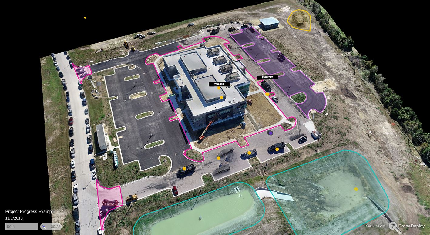
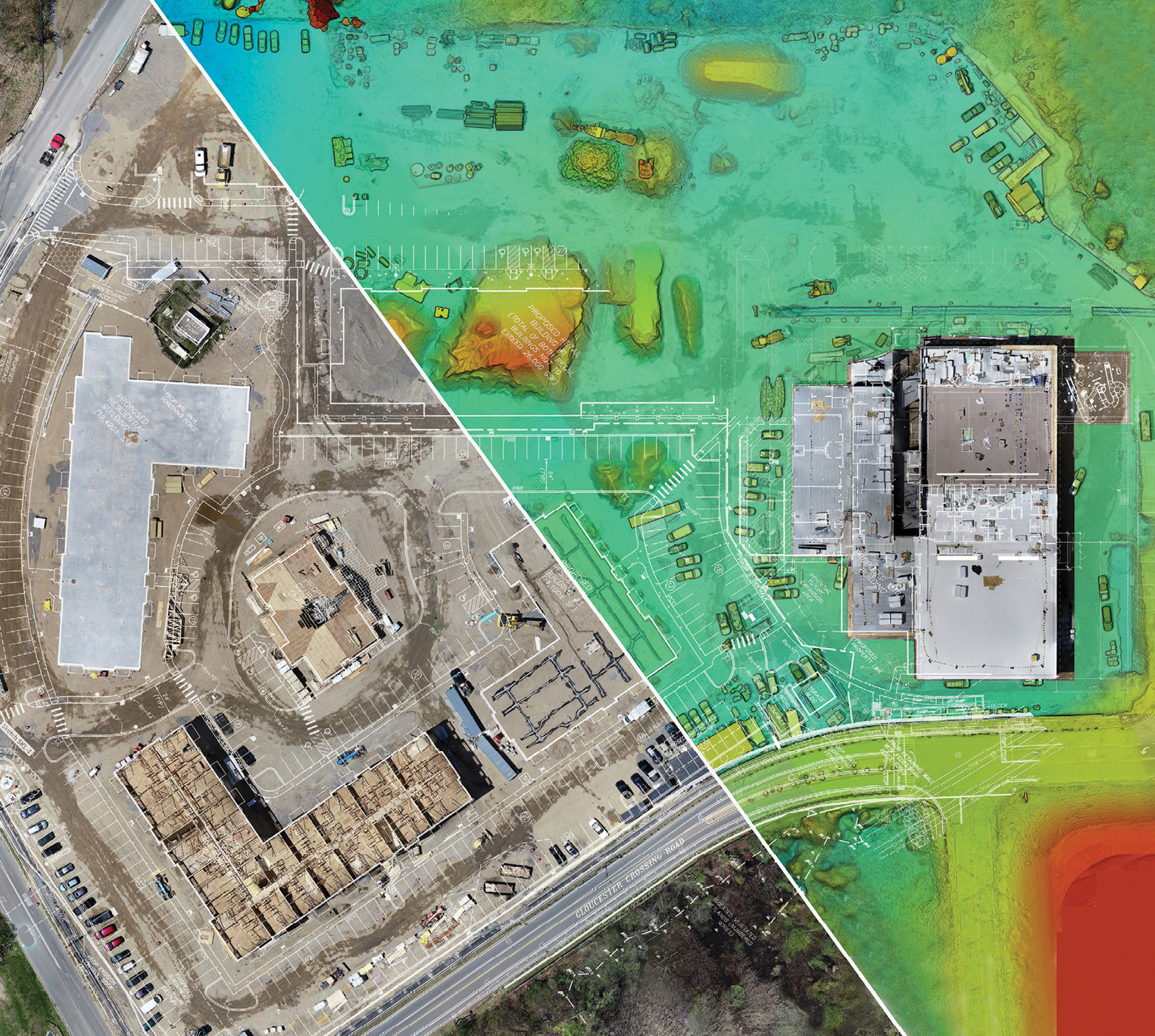
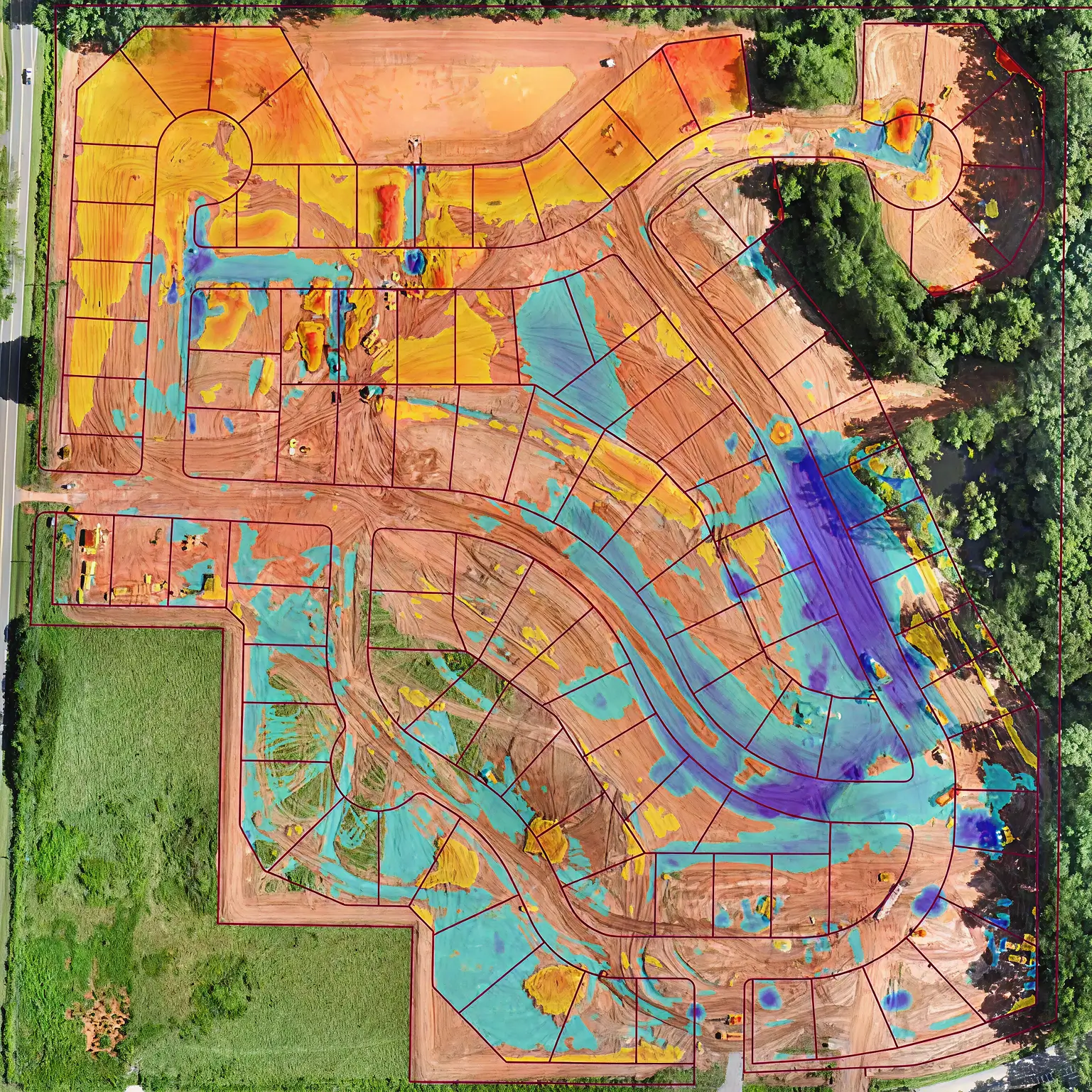
Construction site documentation
Track project advancement with aerial footage that captures the big picture. Regular drone surveys document progress and identify potential delays early.
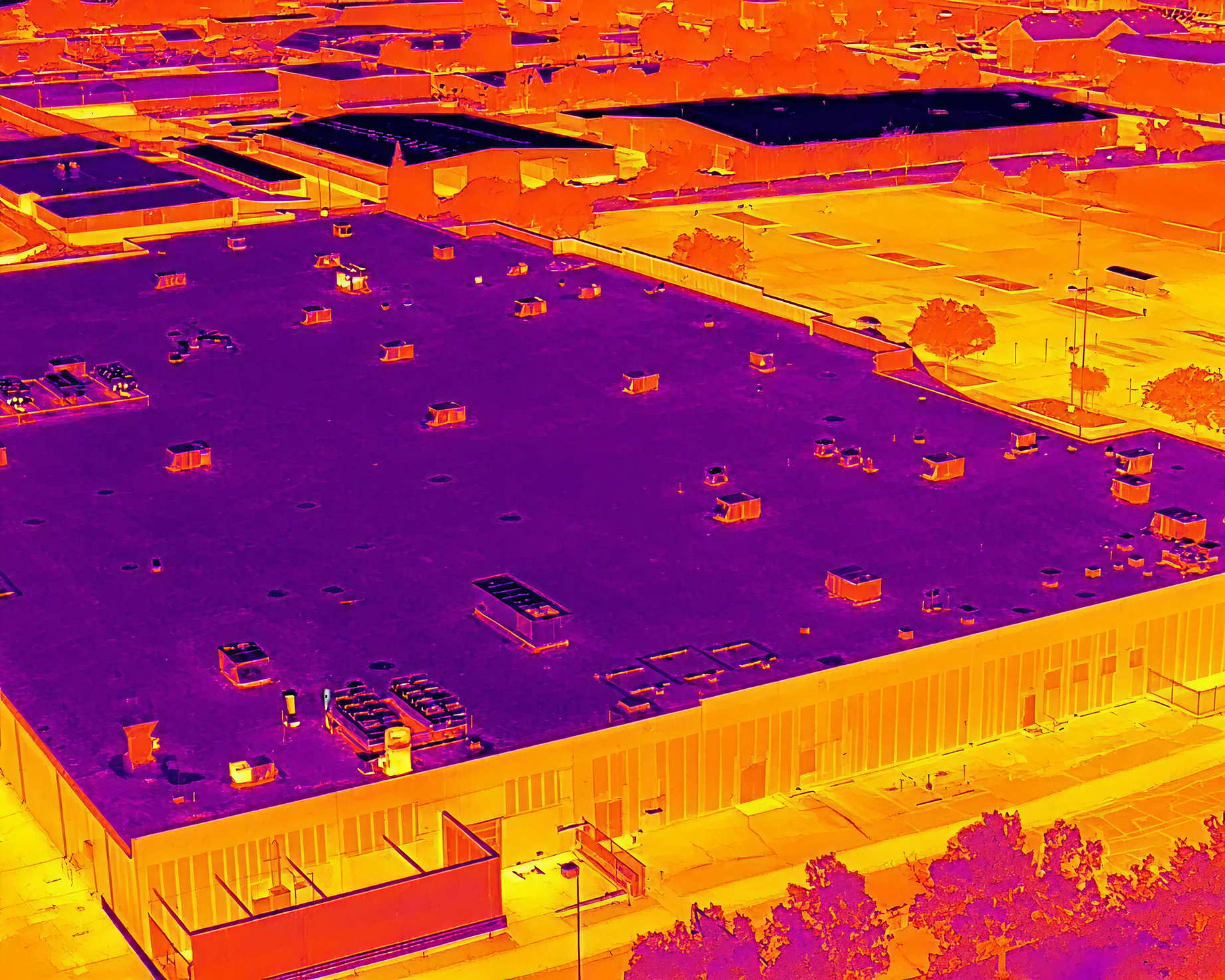
Thermal imaging for roofing inspections
Detect suspected moisture and structural damage before they become expensive problems. Thermal cameras reveal what the naked eye cannot see.
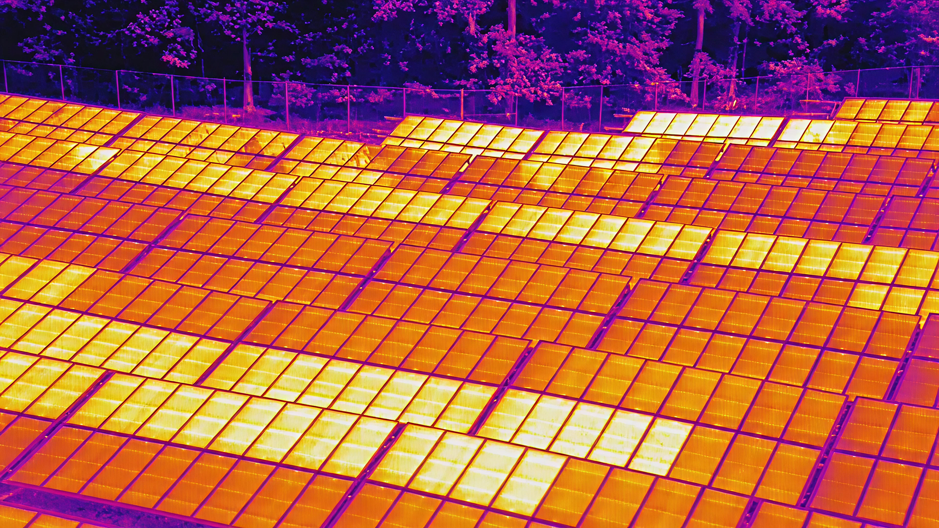
Solar panel assessment and monitoring
Inspect solar installations without climbing or risk. Aerial thermal imaging identifies underperforming panels and maintenance needs quickly.
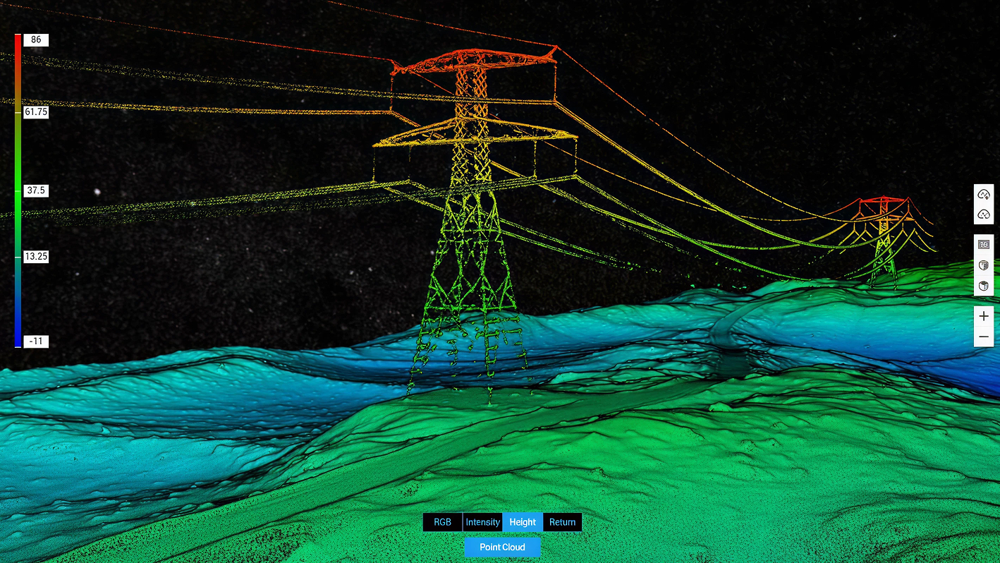
Utilities infrastructure inspection
Survey power lines, pipelines, and communication networks from above. Drones reach difficult terrain and provide comprehensive visual documentation safely.
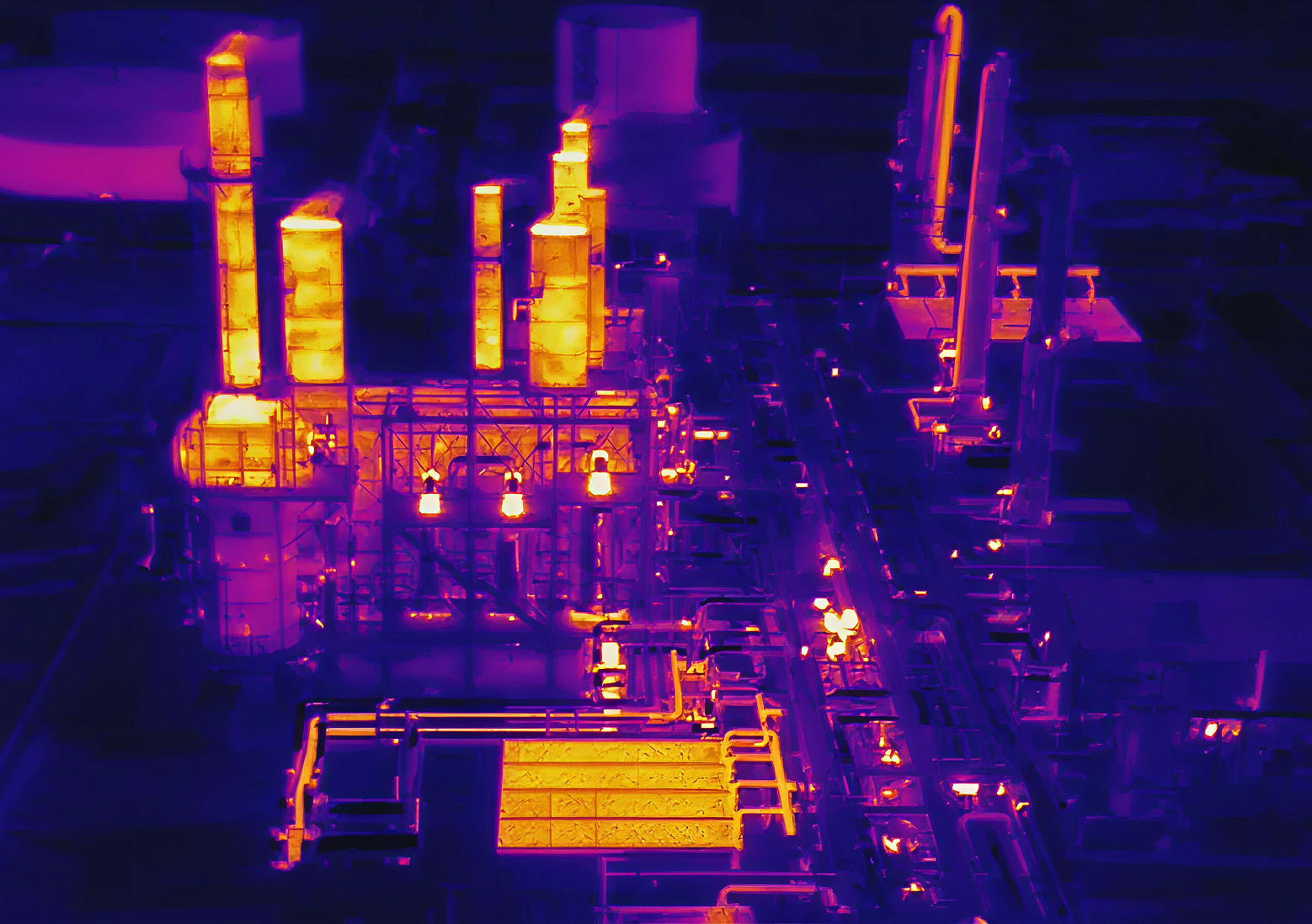
Oil and gas operations monitoring
Monitor drilling sites, pipelines, and equipment with aerial precision. Thermal and standard imaging provide real-time operational intelligence.
Drone services that change how you operate
Aerial documentation cuts costs and eliminates guesswork. What takes weeks or even months on the ground takes minutes from above, and the data you get is clearer than anything else available.
Reduces liability and insurance claims
Accelerates project timelines and decision making
Provides documentation that holds up to scrutiny
Work samples
See what our drones capture on every job
%201.jpg)
%201.jpg)
%201.jpg)
%201.jpg)
%201.jpg)
%201.jpg)
Ready to see from above
Contact South Texas Photography to discuss your project and get a custom quote