
Exploring Thermal Imaging Applications in Drone Technology
- dhartboy
- Oct 27
- 3 min read
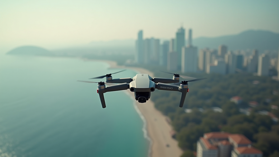
Thermal imaging in drones has transformed how we inspect, monitor, and analyze environments. This technology captures heat signatures invisible to the naked eye. It offers new perspectives for real estate, commercial businesses, and infrastructure professionals. I will explain how thermal imaging works in drones, its key uses, and practical tips for maximizing its benefits.
Understanding Thermal Imaging in Drones
Thermal imaging cameras detect infrared radiation emitted by objects. The camera converts this radiation into a visible image showing temperature differences. Warmer objects appear brighter, cooler ones darker. When mounted on drones, these cameras provide aerial thermal views.
Drones equipped with thermal sensors can cover large areas quickly. They access hard-to-reach spots safely. This capability is valuable for inspecting roofs, electrical systems, pipelines, and more. The data collected helps identify issues early, reducing repair costs and downtime.
Thermal imaging in drones combines flight flexibility with advanced sensing. This synergy creates powerful tools for detailed inspections and monitoring. It also supports decision-making with accurate, real-time thermal data.

Thermal Imaging in Drones for Real Estate and Infrastructure
In real estate, thermal imaging drones reveal hidden problems in buildings. They detect heat loss, moisture intrusion, and insulation gaps. This information helps agents and buyers assess property conditions accurately. It also supports energy audits and green building certifications.
For commercial businesses, thermal drones inspect electrical panels, HVAC systems, and machinery. They identify overheating components before failures occur. This proactive approach improves safety and reduces maintenance costs.
Infrastructure professionals use thermal drones to monitor bridges, roads, and pipelines. Thermal data highlights structural weaknesses and leaks. It enables timely repairs and extends asset life. Drones also reduce the need for manual inspections in dangerous or inaccessible areas.
Using thermal imaging drones increases inspection speed and accuracy. It provides detailed thermal maps and reports. These outputs support compliance with safety and environmental regulations.

What is an example of thermal imaging?
A common example of thermal imaging is roof inspection. A drone flies over a building and captures thermal images of the roof surface. These images show temperature variations caused by water leaks or missing insulation.
Another example is electrical inspection. Thermal drones scan electrical panels and transformers. Hot spots indicate overloaded circuits or failing components. Early detection prevents fires and power outages.
In agriculture, thermal imaging identifies irrigation issues. Crops with insufficient water show cooler temperatures. Farmers use this data to optimize watering schedules and improve yields.
These examples demonstrate how thermal imaging provides actionable insights. It uncovers problems invisible to standard cameras or the human eye.
How to Use Thermal Imaging Drones Effectively
To get the most from thermal imaging drones, follow these steps:
Choose the right drone and camera - Select models with suitable flight time, payload capacity, and thermal resolution.
Plan your flight path - Map the area to cover all critical points efficiently.
Fly under optimal conditions - Avoid extreme weather or direct sunlight that can affect thermal readings.
Analyze thermal data carefully - Use software to interpret images and generate reports.
Integrate with other data - Combine thermal images with visual photos or 3D models for comprehensive analysis.
Regular training and calibration of equipment ensure reliable results. Partnering with experienced thermal drone service providers can also enhance outcomes.
Benefits of Thermal Imaging Applications in Drone Technology
Thermal imaging applications in drones offer several advantages:
Safety: Inspect hazardous or hard-to-reach areas without risking personnel.
Speed: Cover large sites faster than manual inspections.
Accuracy: Detect subtle temperature differences that indicate problems.
Cost savings: Identify issues early to avoid expensive repairs.
Versatility: Use across industries including real estate, construction, agriculture, and utilities.
For those seeking professional thermal drone services, consider thermal imaging applications tailored to your needs. These services provide expert data collection and analysis to support your projects.
Expanding Your Imaging Capabilities with Thermal Drones
Incorporating thermal imaging drones into your workflow enhances your inspection and monitoring capabilities. It adds a new dimension to data collection and problem-solving. Whether assessing building conditions, monitoring infrastructure, or managing commercial assets, thermal drones deliver valuable insights.
Invest in quality equipment and training. Stay updated on the latest thermal imaging technology and regulations. Collaborate with trusted service providers to maximize benefits.
Thermal imaging in drones is a powerful tool. It improves efficiency, safety, and decision-making. Embrace this technology to stay ahead in your field and deliver superior results.


Comments